When Is the Best Time
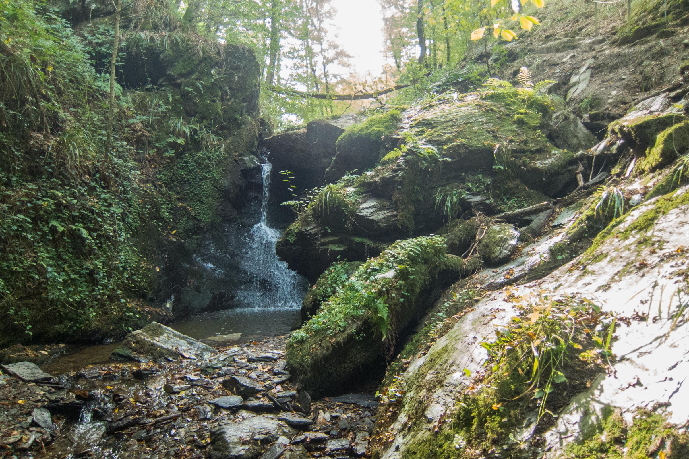
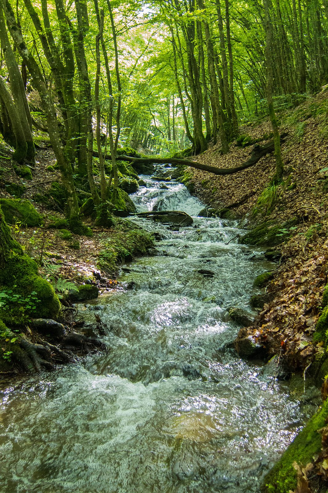
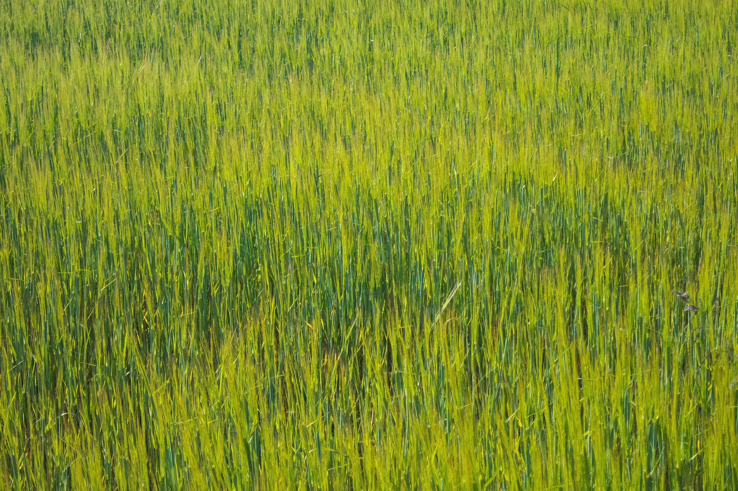
This trail is recommended from April to November. Hard to walk with ice and snow. It's a fantastic hike on a hot summer day deep in the forest. More spectacular from April to June with the higher water level. The Waterfall is a trickle only end of summer.
Where to Stay
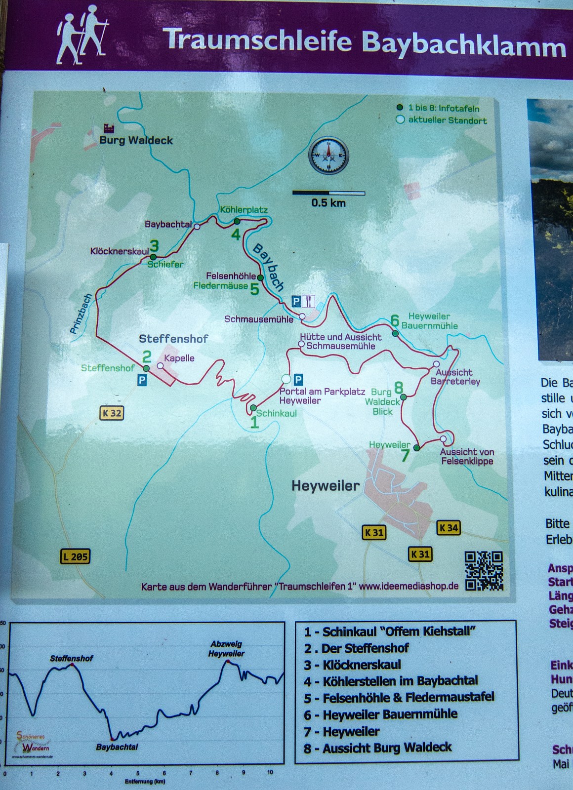
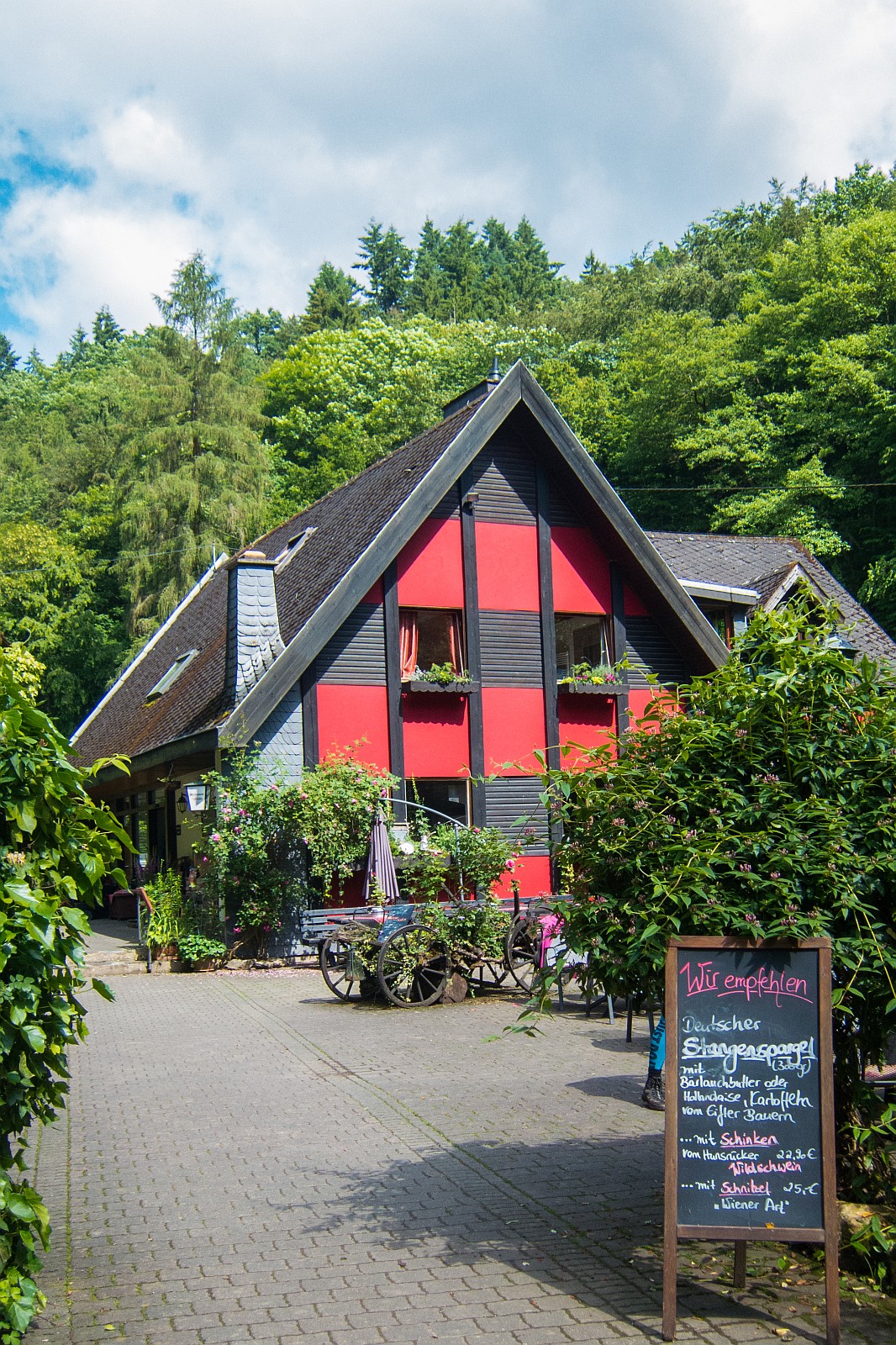
There is one hotel along the trail which is famous for its outstanding meals and included breakfast. We'd been here in the hotel Schmausemühle a couple of times. Book your room in advance especially at weekends. It's a family-run hotel and often pretty busy. If you stay here, you can start hiking from the hotel. (Follow the link to the hotel - website in German only and not an affiliate link - just my recommendation)
Best Months to Visit
Location and Tips

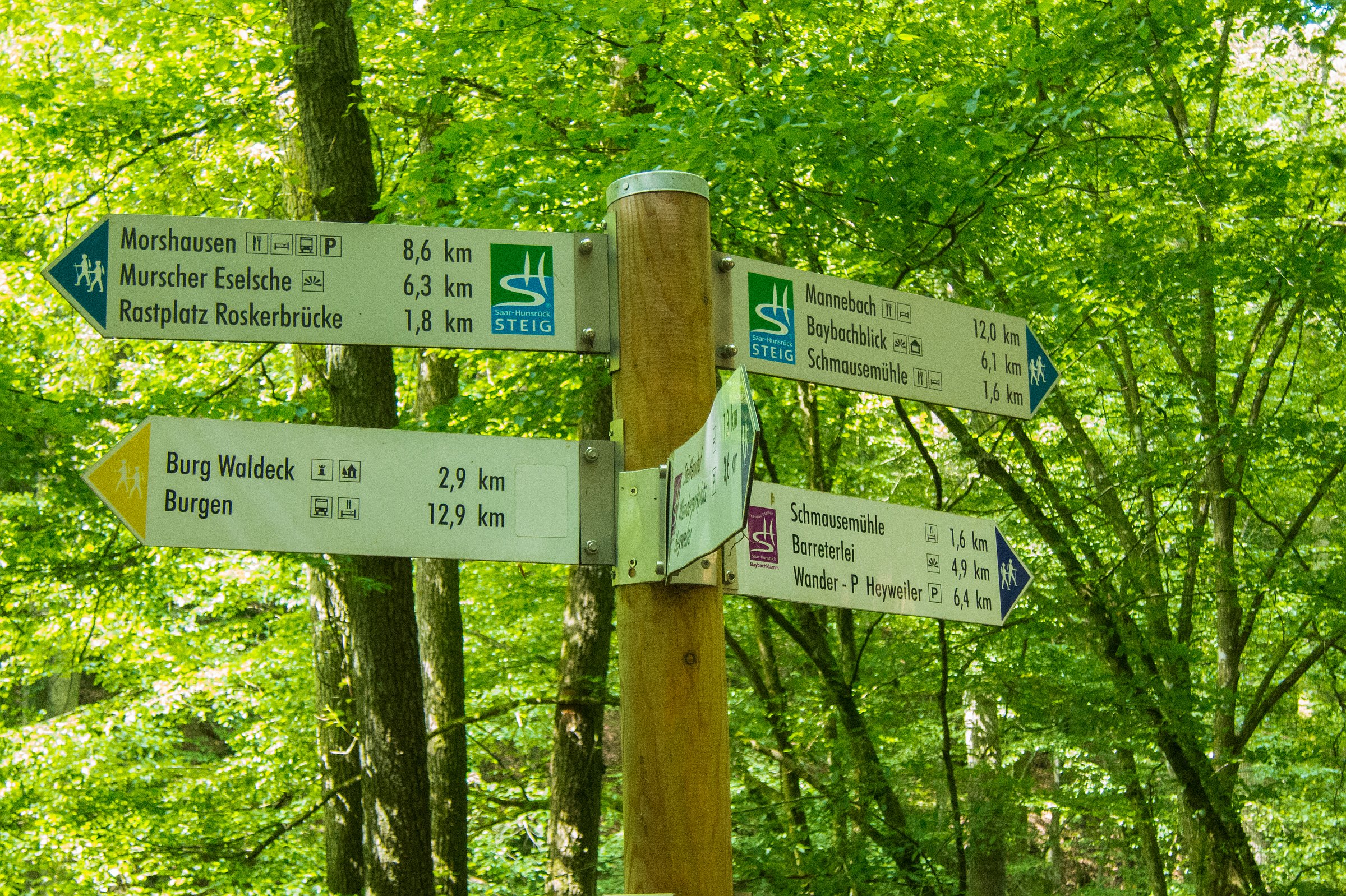
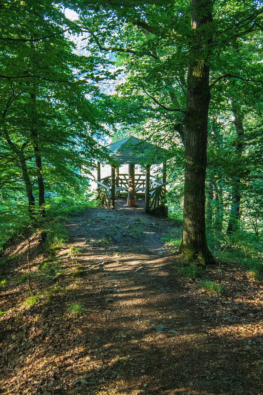
There are 111 hiking trails in Saarland and Rhineland-Palatinate called "Traumschleifen",; which means a dream loop trail. These trails are perfectly marked with the following intermediate hiking target information, the distance you've already hiked, how long you still have to walk, and the next highlight on your trail. The trails are abundant in variety and always even better than expected.
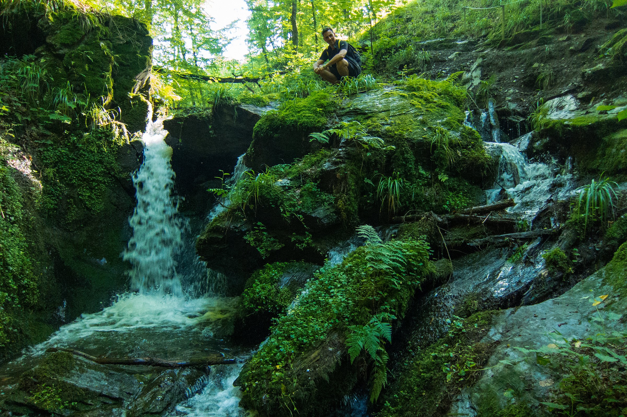
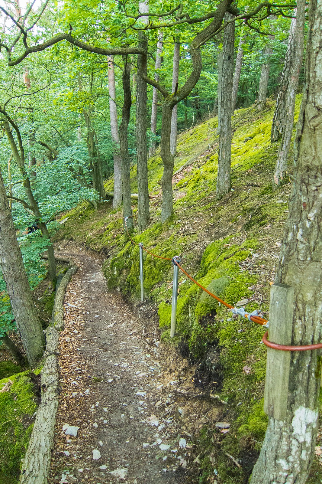
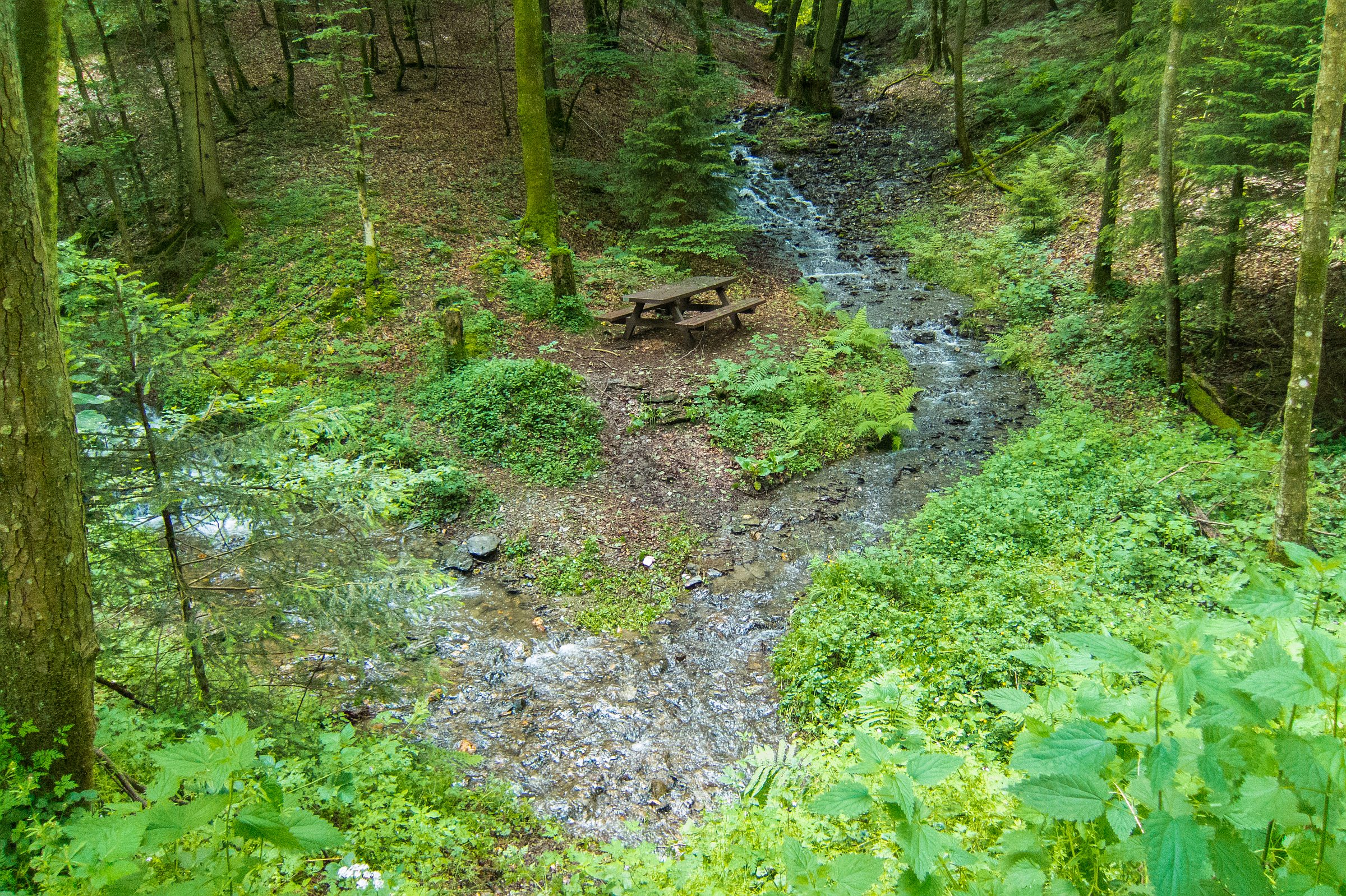
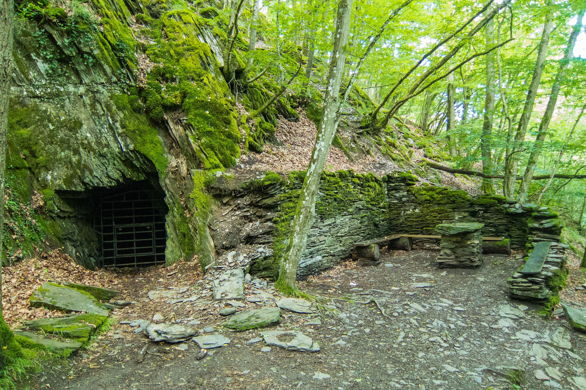
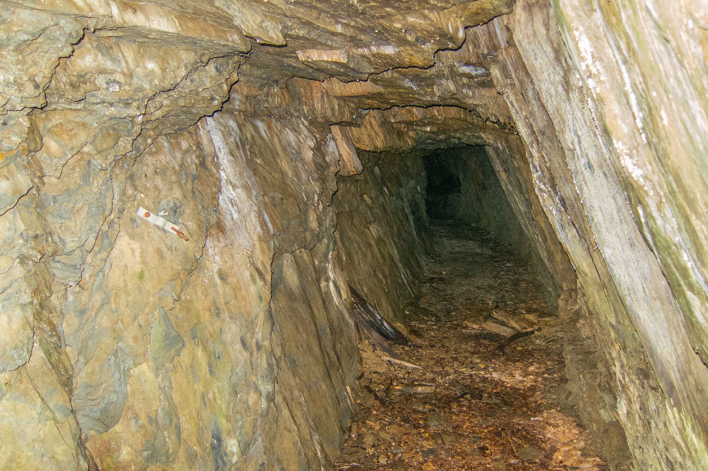
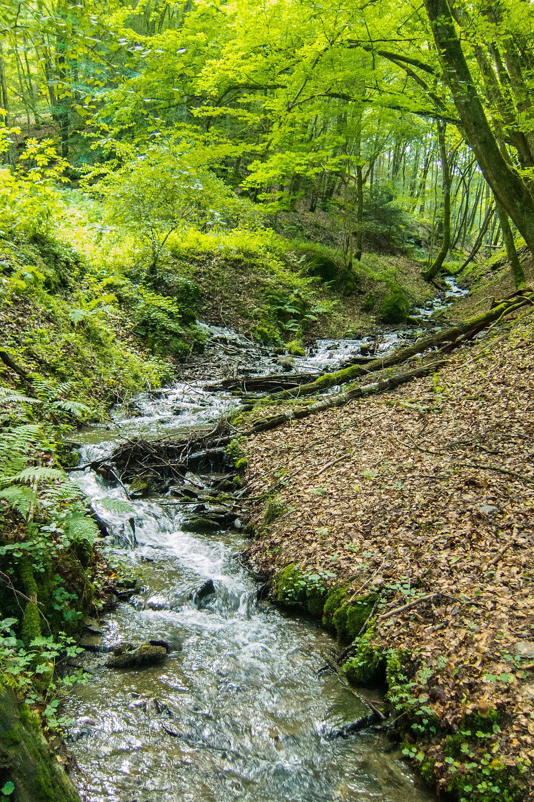
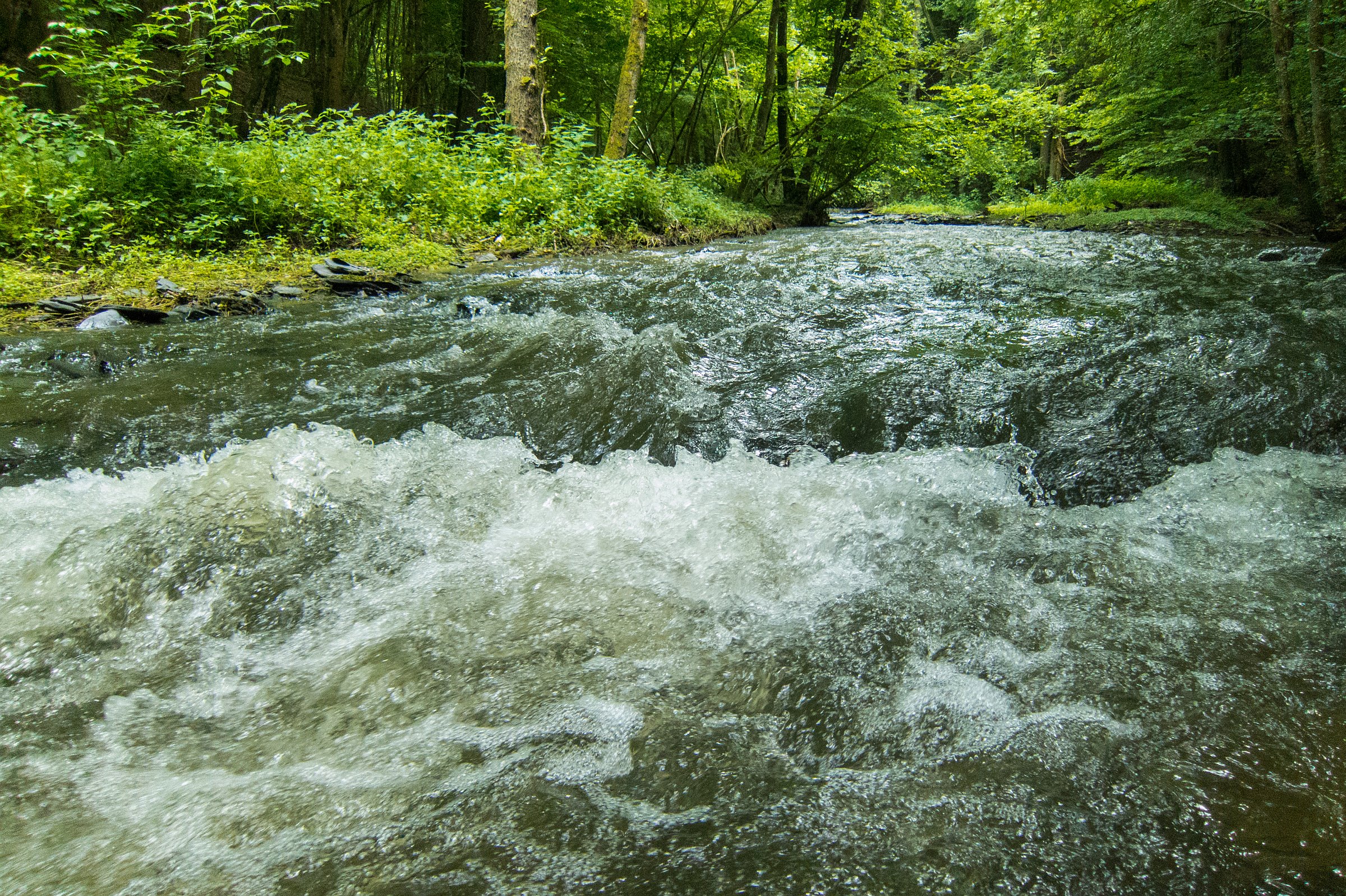
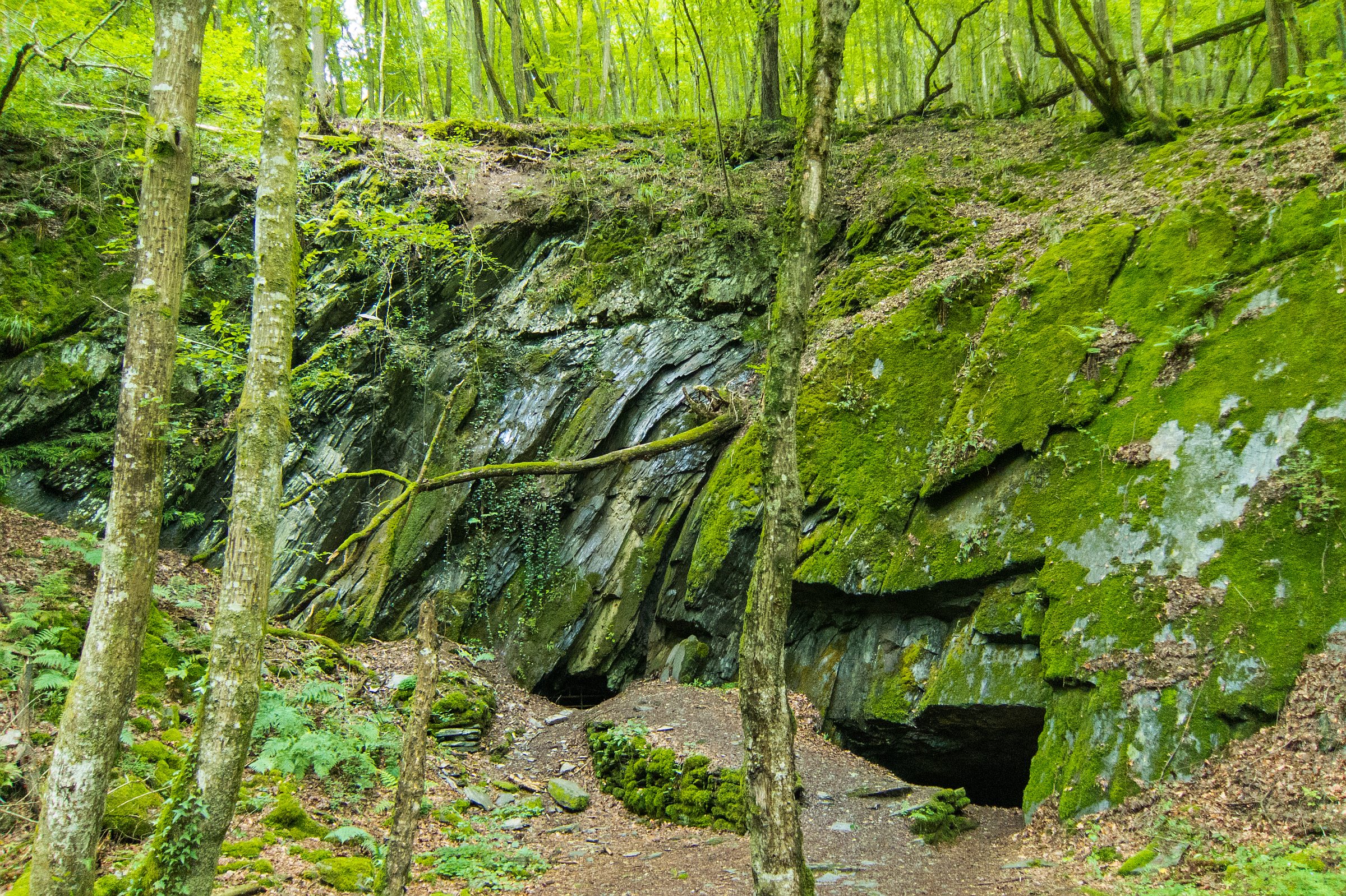
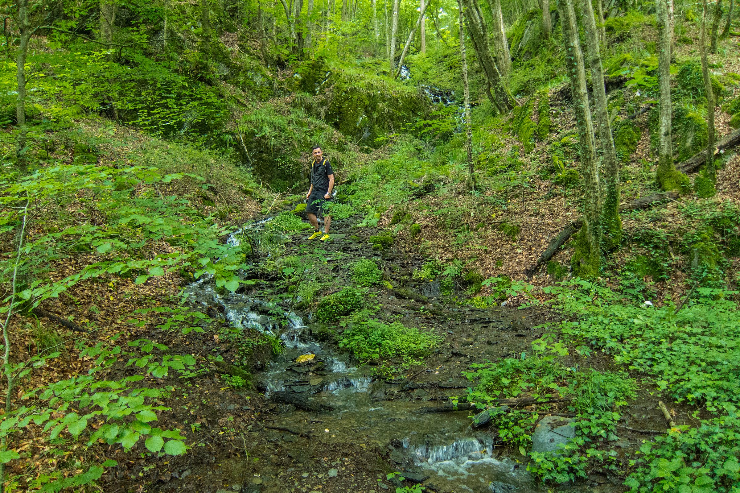
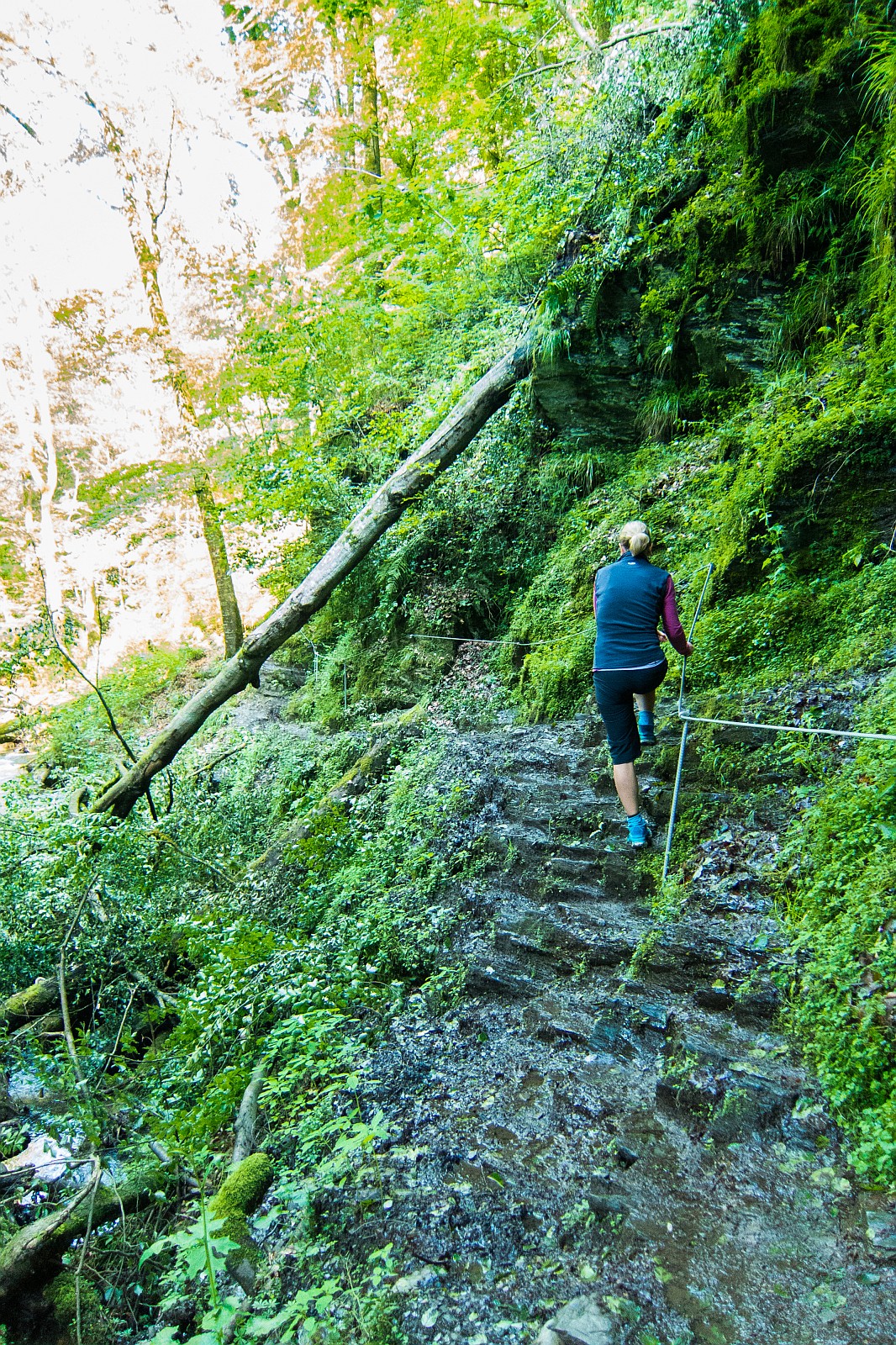
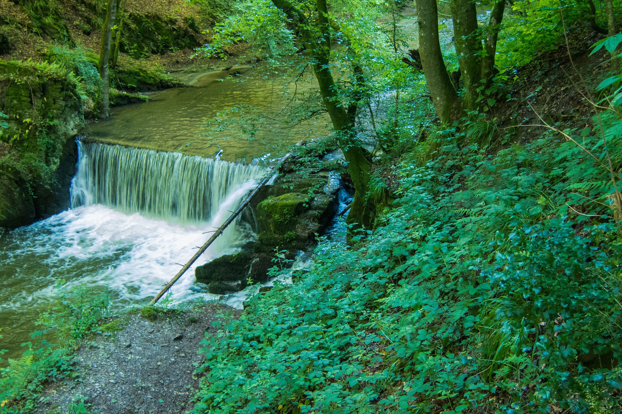
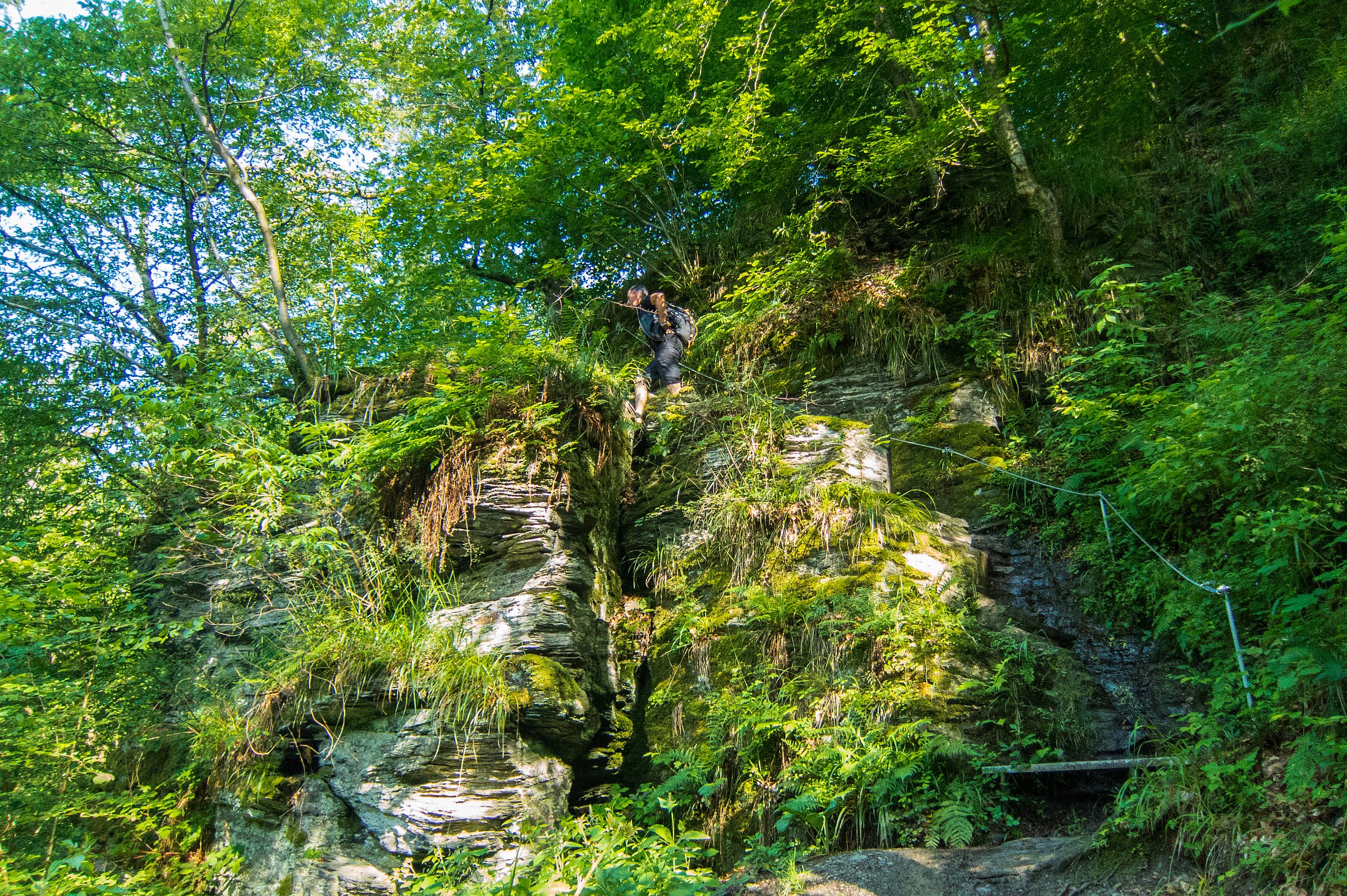
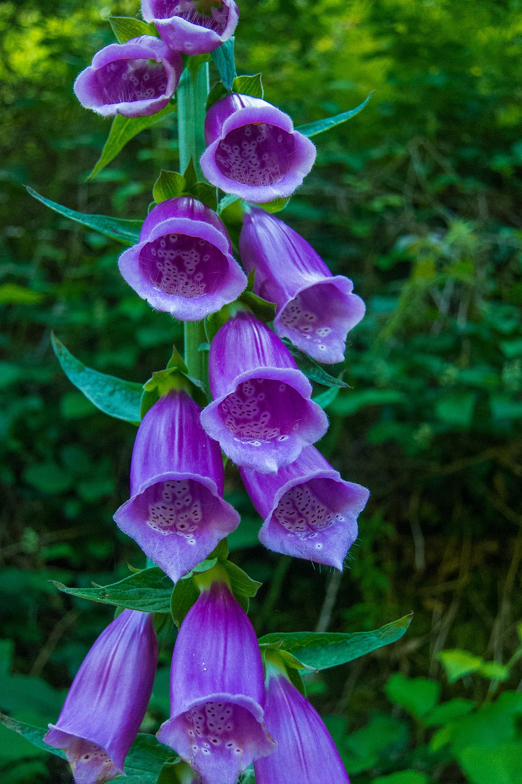
It is like a mountain hike with several rocky parts secured with ropes. Most of the time, the trail leads along the stream; Baybach. It is one of the most beautiful dream loops in wild and untouched nature. The parking area and the start of the hike are marked on Google maps. The trail is 10.5 km long, up and downhill, gaining an elevation of 413 meters and the duration is less than 4 hours for experienced hikers. This region is well known for slate mining. The trail passes several old mines secured with metal lattice and bats inside. Schedule extra time to enjoy the beautiful stream, which often looks like a river and for a break at Schmausemühle. The restaurant offers delicious local food and homemade bread.